My New Map

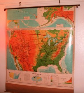
I bought a big retractable map of the United States, the kind we used have in classrooms. It's about five fee wide and when unfurled, about eight feet high. I put it on my wall and I have to say, it really ties the room together. I found it at an antique store in the Lower East Side. I thought it would be a pain to carry on the subway, even rolled up, but it wasn't.
Looking at this huge map, you have to take a few steps to get from one coast to another. It reminds me of a debate I've had with friends from the "Midwest." Being a Minnesotan, I've always figured that the Midwest actually consists of Minnesota and all the states that surround it. So Minnesota, the Dakotas, Iowa, and Wisconsin. Sometimes Illinois, sometimes Nebraska. Michigan? Hmm. Rarely, but sometimes. So where does that leave Indiana and Ohio? Look at the map. They are clearly in the Mideast.
One thing that surprised me was seeing that Toronto is well south of the Twin Cities' 45th parallel. It looks like Canada is creeping in to our territory. I don't like it. Isn't there something we can do?


0 Comments:
Post a Comment
<< Home